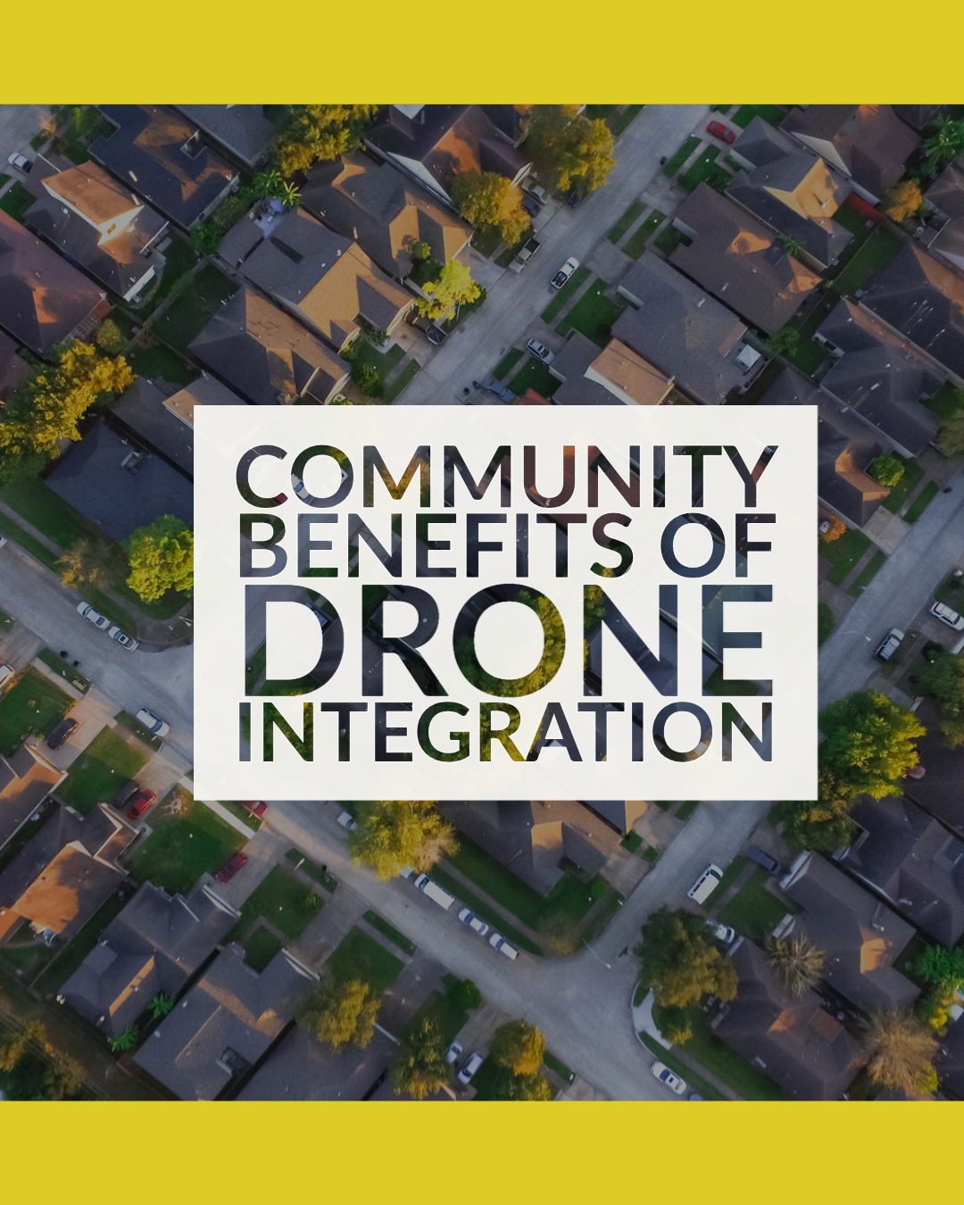
Drones are here. Is your community ready?
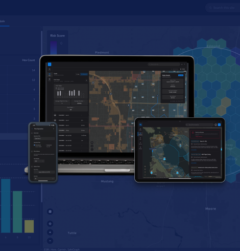
Just as today's ground transportation requires a system of roads with speed limits, traffic lights and traffic alerts to drivers, drone operators in the sky will require similar infrastructure to fly safely. The AirHub® Platform provides that digital infrastructure or "maps in the sky" to help drone pilots in your area understand the safest routes to fly at any given time.
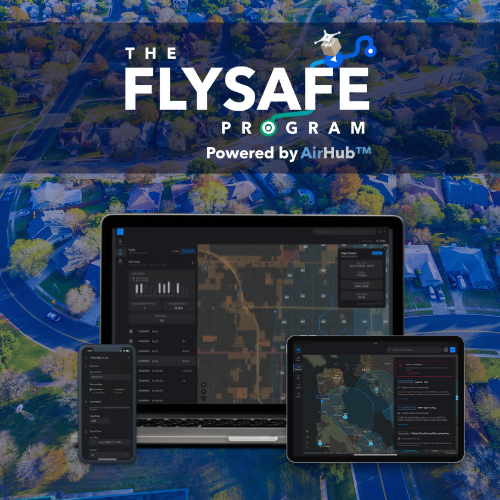
Communities investing in the FlySafe Program, powered by AirHub® are increasing their residents' safety today while attracting economic opportunities from the emerging drone industry, reducing CO2 emissions by replacing delivery trucks with drones, and improving quality of life for their citizens with things like medical delivery and convenient food deliveries.
The AirHub® Platform leverages existing Esri investments, geospatial information, and asset management systems making it easy to onboard with us and get your community prepared today.
Local GIS data is enriched with the FAA and 3rd party data to assign air & ground risk profiles to categories of this data. Authorized personnel can also administer localized advisories through a web-based portal.


Airspace Link is fully integrated with the FAA and is the only solution that provides digital infrastructure to empower state and local governments to make informed decisions and participate in the management of the safe growth of drone operations in their communities.
Start Your Free Evaluation