$250 Million in Federal Drone Security Funding
FIFA 2026 States | December 5 Deadline
The first $250M of a $500M federal commitment is available now for states with FIFA World Cup 2026 host cities.
Cities must coordinate with State Administrative Agencies (SAAs) to secure Counter-UAS grants for:
- Detection & tracking technologies
- Multi-agency coordination systems
- FBI-certified training & exercises
- Critical infrastructure protection
Eligible: TX, FL, NY, NJ, CA, GA, MO, KS, MA, WA, PA + National Capital Region

FAA-Approved Drone Operations Management System
All-in-one drone safety, security, and UAS Traffic Management (UTM) – simplified
Future-Proof Your Organization Now
Be ready for drone rules, advanced operations, and the next wave of federal standards. With compliance built in, our system supports everything from today's visual-line-of-sight flights to tomorrow's beyond-visual-line-of-sight operations.
(FAA Part 107, waivers, proposed BVLOS Part 108 & 146, U.S. UTM – Drone Executive Orders Ready)



U.S. FAA Safety/Security Checks and Authorizations Every Day
Monthly Active Users
Unique Government and Commercial Agencies
updated every 90 days
Source: Airspace Link's Drone Operations Management System, AirHub® Portal
The Current State of Today's Airspace
The skies above us are evolving. Every day, drones take flight – powering emergency response, inspecting vital infrastructure, driving business innovation, and taking off in the hands of recreational hobbyists. But without a unified system in place to connect these diverse operations, they often occur in silos, lacking shared visibility, oversight, and coordination needed to ensure safe and efficient airspace.
Why Your City Needs a Drone Program
As drone operations grow in complexity, managing fleets, data, and regulatory compliance can quickly become overwhelming. Our turnkey drone management solutions streamline these tasks, ensuring efficiency, safety, and scalability while freeing up your team to focus on what matters most — delivering results.





Advancing City UAS Integration Through Our FlySafe Program
Founded on our UAS Integration Framework and powered by our FAA-approved AirHub® Portal platform, Airspace Link's FlySafe Program empowers cities and communities to safely integrate drones for a wide range of applications - from public safety and emergency response to infrastructure inspection and economic development.
Supporting All Stakeholders

Drone Operator

Fleet Manager
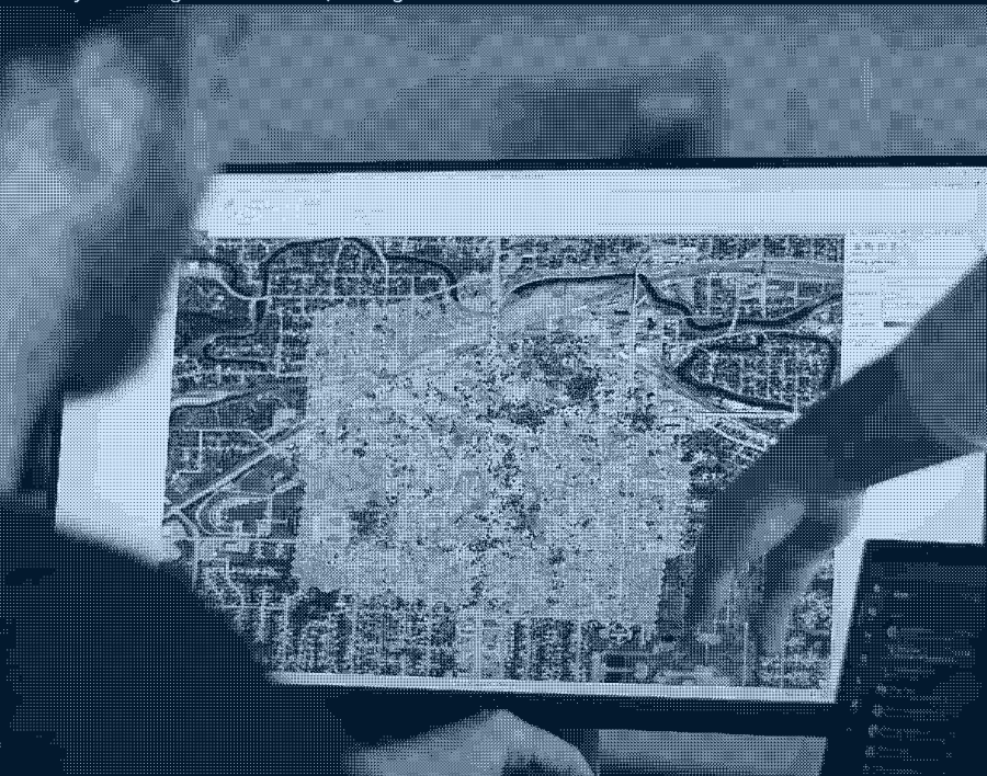
Geospatial Planner

Regulatory Authority
Police
Law enforcement agencies deploy drones for search and rescue operations, accident scene documentation, crowd monitoring during large events, and tactical engagements to enhance officer and public safety.
Police
Law enforcement agencies deploy drones for search and rescue operations, accident scene documentation, crowd monitoring during large events, and tactical engagements to enhance officer and public safety.

Fire
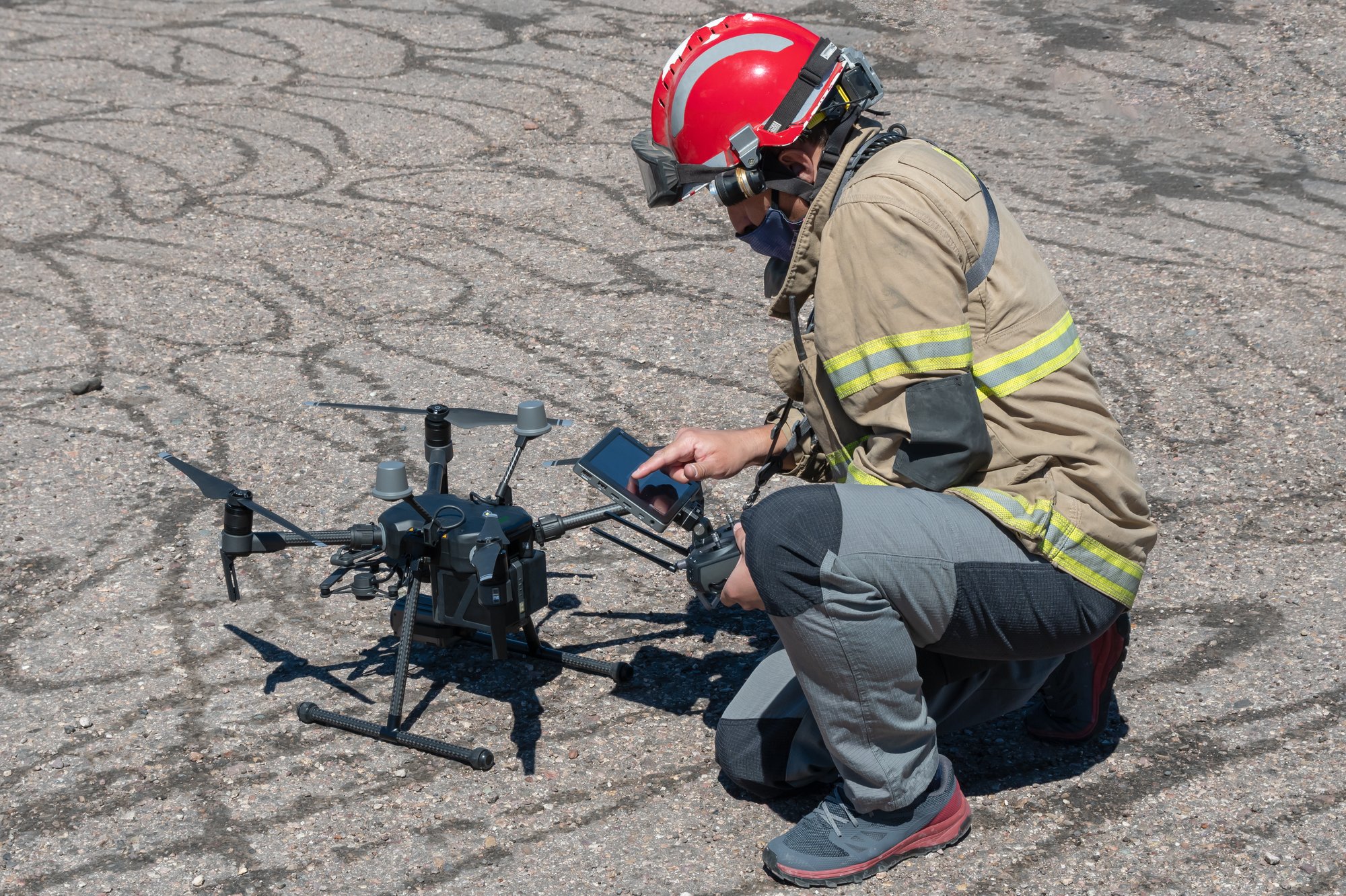
Fire departments deploy drones as rapid first responders, arriving on scene before fire trucks to assess fire severity and conditions, while thermal cameras help identify hotspots and guide tactical decisions.
Fire
Fire departments deploy drones as rapid first responders, arriving on scene before fire trucks to assess fire severity and conditions, while thermal cameras help identify hotspots and guide tactical decisions.
Public Works
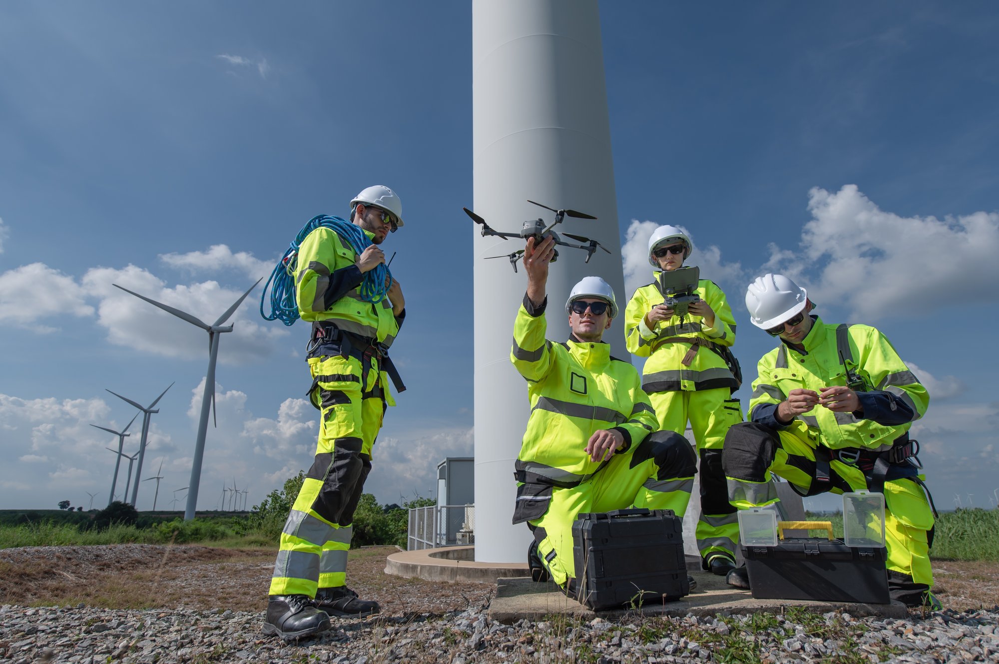
City maintenance teams employ drones to inspect infrastructure like bridges, towers, and utilities, dramatically reducing the time and risk involved in routine assessments.
Public Works
City maintenance teams employ drones to inspect infrastructure like bridges, towers, and utilities, dramatically reducing the time and risk involved in routine assessments.
Event Management
City event coordinators utilize drones to monitor crowd flow, assess venue security, and capture aerial footage during public gatherings, festivals, and municipal celebrations.
Event Management
City event coordinators utilize drones to monitor crowd flow, assess venue security, and capture aerial footage during public gatherings, festivals, and municipal celebrations.

Construction
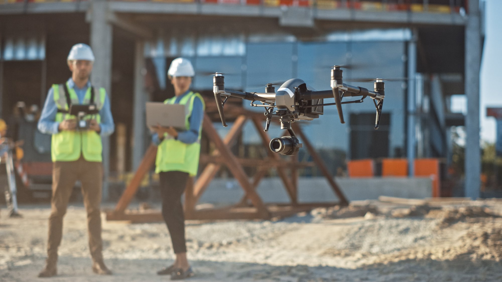
Building departments and contractors use drones to monitor construction progress, conduct safety inspections, and create accurate site surveys for better project oversight.
Construction
Building departments and contractors use drones to monitor construction progress, conduct safety inspections, and create accurate site surveys for better project oversight.
Delivery
Municipal delivery programs test drones for rapid transport of critical supplies between city facilities, reducing road congestion and enabling quick response times.
Delivery
Municipal delivery programs test drones for rapid transport of critical supplies between city facilities, reducing road congestion and enabling quick response times.
Operational Blind Spots
Lack of centralized oversight leads to limited visibility, disjointed coordination, and gaps in real-time situational awareness—making it difficult to understand who is flying, where, and when.
Safety & Compliance Gaps
Without unified systems, enforcing consistent safety standards, maintaining regulatory compliance, and responding to incidents becomes a fragmented and reactive effort.
Resource Inefficiency
Siloed programs result in duplicated investments, underutilized assets, and inconsistent training–draining time, funding, and momentum from critical initiatives.
Cybersecurity Vulnerabilities
Disconnected platforms and unmanaged data flows introduce significant risks to sensitive systems, increasing exposure to breaches, surveillance, and infrastructure disruption.
Barriers to Scale
Inflexible and fragmented systems make it difficult for organizations to scale drone programs, deploy new mission types, or integrate emerging technologies into their operations.
Operational Blind Spots

Safety and Compliance Gaps
Without unified oversight, it's difficult to enforce consistent safety standards, track compliance, and respond to incidents—leaving cities and organizations exposed to risk.

Resource Inefficiency
Disjointed programs result in duplicated investments, underutilized assets, and inconsistent training—draining resources and slowing progress.

VIDEO: TRANSFORM YOUR SKIES
Learn About Our Comprehensive Drone Operations Management System
Drones are already flying over your city—inspecting infrastructure, assisting emergency response, and delivering supplies. But fragmented programs across departments can create safety risks and missed opportunities.
AirHub® Portal: Your Drone Operations Management System
Built for federal and government entities, commercial fleets, and certified pilots, AirHub® Portal is your centralized command center. It brings everything together in one single pane of glass so you can plan, manage, and scale drone operations with confidence.
✅ Real-time airspace awareness and operational visibility
✅ Streamlined risk assessments and multi-agency coordination
✅ Built-in FAA-approved B4UFLY and LAANC
✅ Full regulatory compliance and flight tracking
✅ Enterprise-grade security with ISO 27001 and SOC 2 certifications
For Federal Government
Federal Agencies and Public Sector Leaders
With drone activity on the rise, federal agencies face increasing pressure to manage low-altitude operations while protecting critical infrastructure and national security interests. AirHub® Portal is a centralized, end-to-end system that integrates airspace awareness, detection, compliance, and interagency coordination—supporting unified drone oversight across jurisdictions and mission sets.

For State & Local Government
City, County & State Leaders | IT & Security Professionals
Municipalities and regional agencies need secure, scalable systems to oversee drone operations and unlock the benefits of growing drone usage. AirHub® Portal integrates with existing infrastructure and IT systems—enhancing safety, streamlining compliance, and advancing smart city initiatives through centralized drone management.

For Commercial Operators and Fleets
Enterprise UAV Operators | BVLOS | Drone Service Providers
As commercial drone operations grow in scale and complexity, AirHub® Portal helps operators manage regulatory compliance, flight planning, and operational risk across diverse environments. Whether flying in controlled airspace or beyond visual line of sight, our system enables safe, scalable, and compliant operations at any altitude.
For Recreational & Part 107 Pilots
Navigating today’s airspace can be complex. AirHub® Portal simplifies flight planning, LAANC authorization, and airspace awareness, helping you fly safely, stay compliant, and make the most of every mission.

Trusted and Secure
AirHub® Portal is officially approved by the FAA to provide B4UFLY safety checks and LAANC authorizations, empowering cities with authoritative airspace awareness directly from the federal source.
Plus, with both SOC 2 and ISO 27001 certifications, our command center delivers the military-grade data protection and cybersecurity that municipal governments demand, ensuring your drone operations remain secure, compliant, and future-ready.
For City Leaders and Technology Decision Makers
Unified Operations Management
Centralize control across all city departments with a single, secure system. Gain comprehensive visibility of all drone operations, enabling efficient resource allocation and improved interdepartmental coordination.
Data Security & Compliance
Enterprise-grade security compliant with SOC 2 and ISO 27001 standards ensures your operational data remains protected. Automated compliance checks maintain adherence to FAA regulations and local ordinances.
Simplified Integration
Seamlessly connect with existing city systems including ServiceNow, Salesforce, and emergency services (911, 311). Our integration capabilities ensure DOMS enhances your current technology investments.
Complete Audit Trails
Maintain comprehensive records of all drone operations for regulatory compliance and risk management. Detailed, tamper-proof documentation provides the evidence needed for incident investigations and program optimization.
Complete Lifecycle Management
-
Work Order Management
The foundation of efficient operations begins with seamless integration with city systems. Streamlines request capture, prioritization, and routing through appropriate approval channels.
-
Resource Management
Optimize human resources and equipment with comprehensive tracking of pilot certifications, drone registrations, and maintenance schedules to maintain operational readiness.
-
Operations Management
Sophisticated flight management through operations planning, authorization handling, and comprehensive pre-flight checklists with real-time monitoring for active missions.
-
Post-Operation Analysis
Facilitate thorough operational review and data management through comprehensive auditing processes, tracking incidents while maintaining detailed flight logs and performance metrics.
Recent Case Studies
City of Ontario, CA
Ontario is building smarter, scalable drone operations—starting with airspace readiness. As a major logistics hub, the city partnered with Airspace Link to lay the foundation for safe, compliant, and future-focused drone integration.
City of Romulus, MI
Romulus is unlocking airspace potential for safety and growth. Partnering with Airspace Link, the city has streamlined drone operations, ensuring compliance and driving innovation for public safety and economic development.
City of Arlington, TX
Located in the heart of the DFW area, Arlington is at the forefront of drone innovation. Partnering with Airspace Link, the city is simplifying operations across its complex airspace to enhance public safety and support drone delivery.
Built to Scale as You Grow
The FlySafe program bundles have been carefully crafted to assist your city in safely managing drones in your airspace.

Starter
Designed for state and local governments and small organizations looking to start a drone program.
More Details

Team
Tailored for state and local governments and mid-sized organizations looking to grow their drone operations.
More Details

Advanced
Best suited for state and local governments and large organizations conducting advanced and BVLOS missions.
More Details

Enterprise
Ideal for regional organizations requiring aviation-grade Unmanned Aircraft System Traffic Management capabilities.
More Details
Airspace Link News
The latest drone industry news and insights.
3 min read
Introducing Alert Areas Within AirHub® Portal
Jan 21, 2026
7 min read
2026 New Year's Letter from the CEO
Jan 20, 2026


