AirHub® API
AirHub® API powers the Business of Drones by delivering data and services to power and enrich your UAS applications.

A Tool for Developers
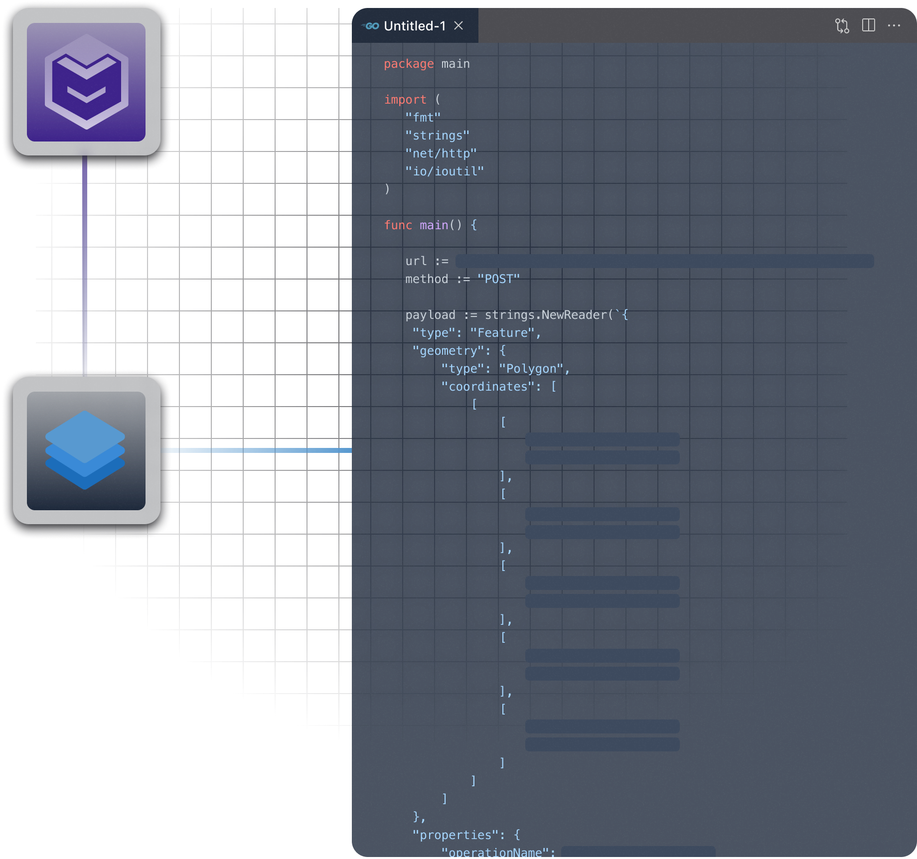
The AirHub API is organized around REST. Our API has predictable resource-oriented URLs, accepts form-encoded or JSON request bodies, returns JSON-encoded responses and uses standard HTTP response codes, authentication, and verbs.
You can use the AirHub API in sandbox mode, which does not affect your live data or interact with production systems. The base URL you use to make requests determines whether the request is live mode or sandbox mode.

Top Use Cases
Drone Hardware Manufacturers
Empower your drone hardware capabilities with Airspace Link’s “Google maps for drones” including planning, routing and authorization capabilities when required.
Drone Software Providers
Embed authorization capabilities accompanied with powerful mapping, routing, and planning solutions based on Esri GIS and federal, state and local authoritative data.
Drone Services Companies
Embed authorization capabilities accompanied with powerful mapping, routing, and planning solutions based on Esri GIS and federal, state and local authoritative data directly into your pilot’s workflows.
Air Traffic Control Providers
Seamlessly support current air traffic control systems with the integration of low-altitude digital infrastructure.
Data & Layers
Robust data pipeline for the APIs, diverse integrations and various applications.
Data Layers
- Access a comprehensive view of airspace and ground risk, leveraging data from multiple government and non-government agencies.
- Robust data pipeline (FAA, SEC, DOE, DOT, others) and its capacity to provide a unified view of disparate data sets for efficient operation planning.
- The API interprets these layers, applying rules to provide context and actionable insights.
Refresh Rate and Priority of Data
- Data from sources like TFRs are updated every 30 minutes, while other data sets are refreshed every 24 hours.
- Layers are prioritized based on federal importance and local notifications
Advanced Tools For Drone Operation Safety
AirHub API delivers national and community-level data, risk analytics, logistics, and more to user drone applications; simplifies access too vital airspace data for companies, particularly those without resources to compile such information

Airspace Awareness
- Streamlines gathering, storing, and packaging FAA Airspace data for easy user access.
- Provides detailed controlled and uncontrolled airspace data, including GIS and LAANC grid information.

LAANC Deep Linking
- Supporting commercial and recreational (LAANC) authorizations within 3rd-party applications, the API allows the creation of operations for deep-linking workflows.
- Each operation includes the pilot's name and contact information, operation start time and duration, requested altitude, and the operation boundary (shape).
Streamlining Access to Vital Airspace Data
AirHub APIs enable users to take advantage of our features and the flexibility to adapt critical data directly into users operations and their unique risk profiles, flight technology stacks, and workflows.

TFRs & Real-Time Community Advisories
Communities can publish local advisories on AirHub Portal for drone operators through AirHub APIs.
Direct access to FAA TFRs and local community advisories essential for compliance and operational safety, with updates every 30 min. from the FAA database.

Operational Hazard & Risk
Leveragin 50+ data sources, Airhub API helps developers quantify FAA guidelines on population and ground risk hazards ad their associated risk within a geographic boundary.
Logistics & Planning
AirHub® API provides advanced logistical and planning tools such as complex routing algorithms built on diverse suitability surfaces constructed from dozens of local and national datasets, weighted to meet the specific requirements of the user’s operational parameters.
Get started
Jump into the documentation now. Our APIs are growing every week. We’re happy to discuss use cases that more precisely match the needs of your business if we don’t quite align with your process flow today.


