2 min read
From Request to Flight: Work Order Management Comes to AirHub® Portal
Introducing Work Order Management within AirHub® Portal, a powerful new feature that integrates your drone operations...


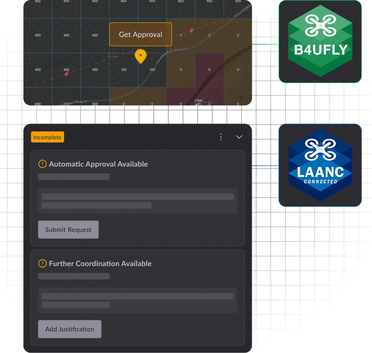
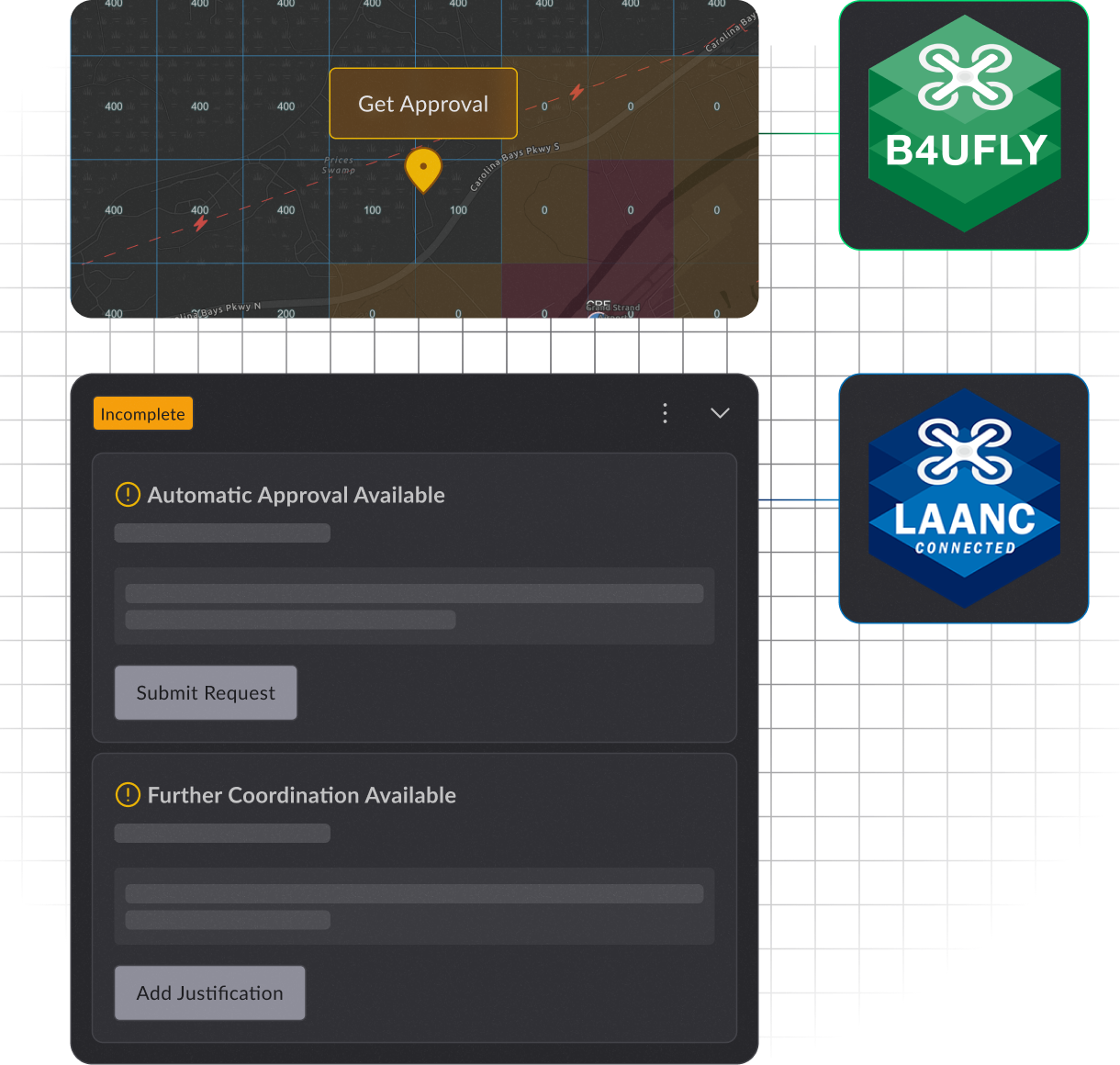
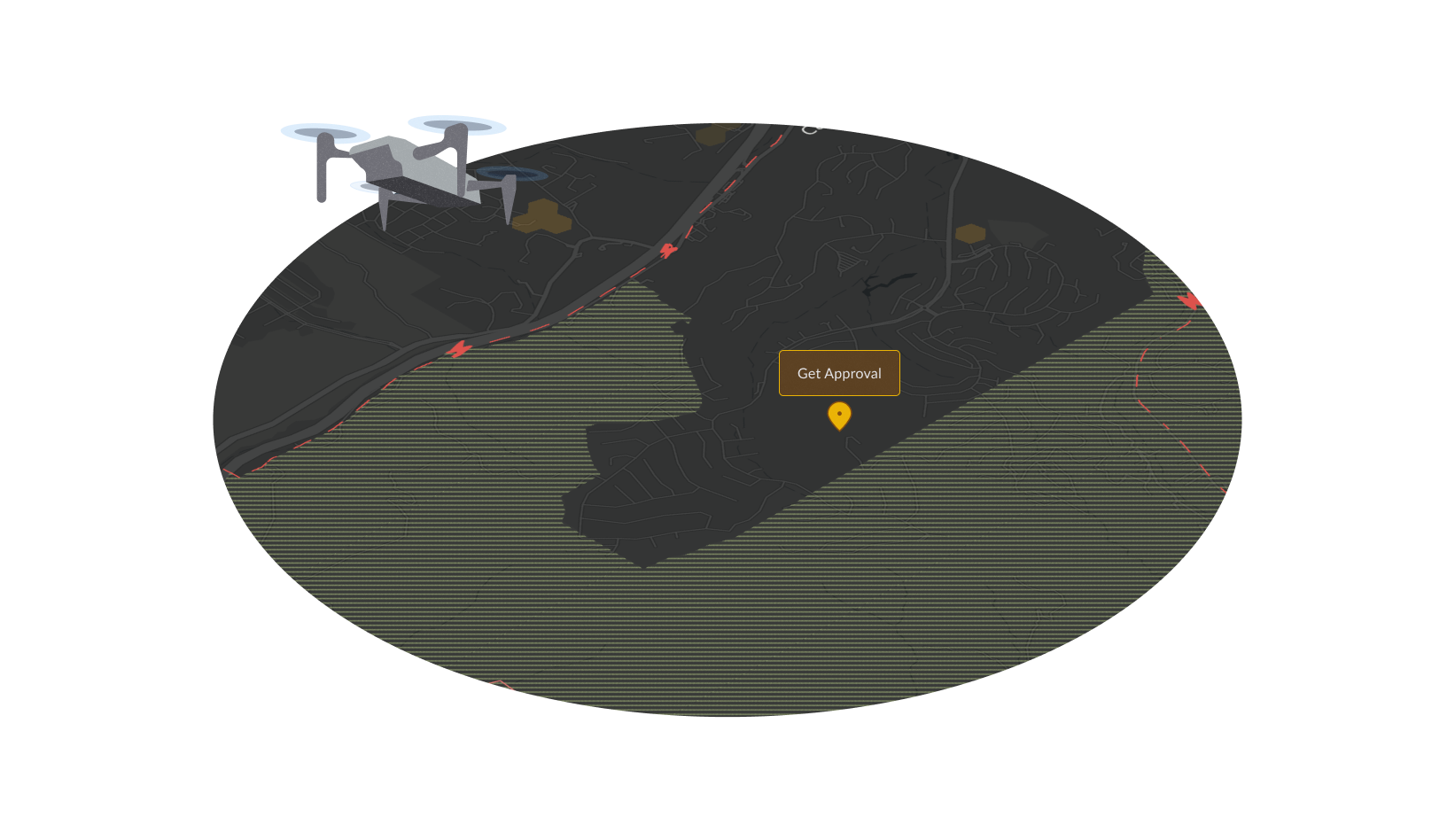
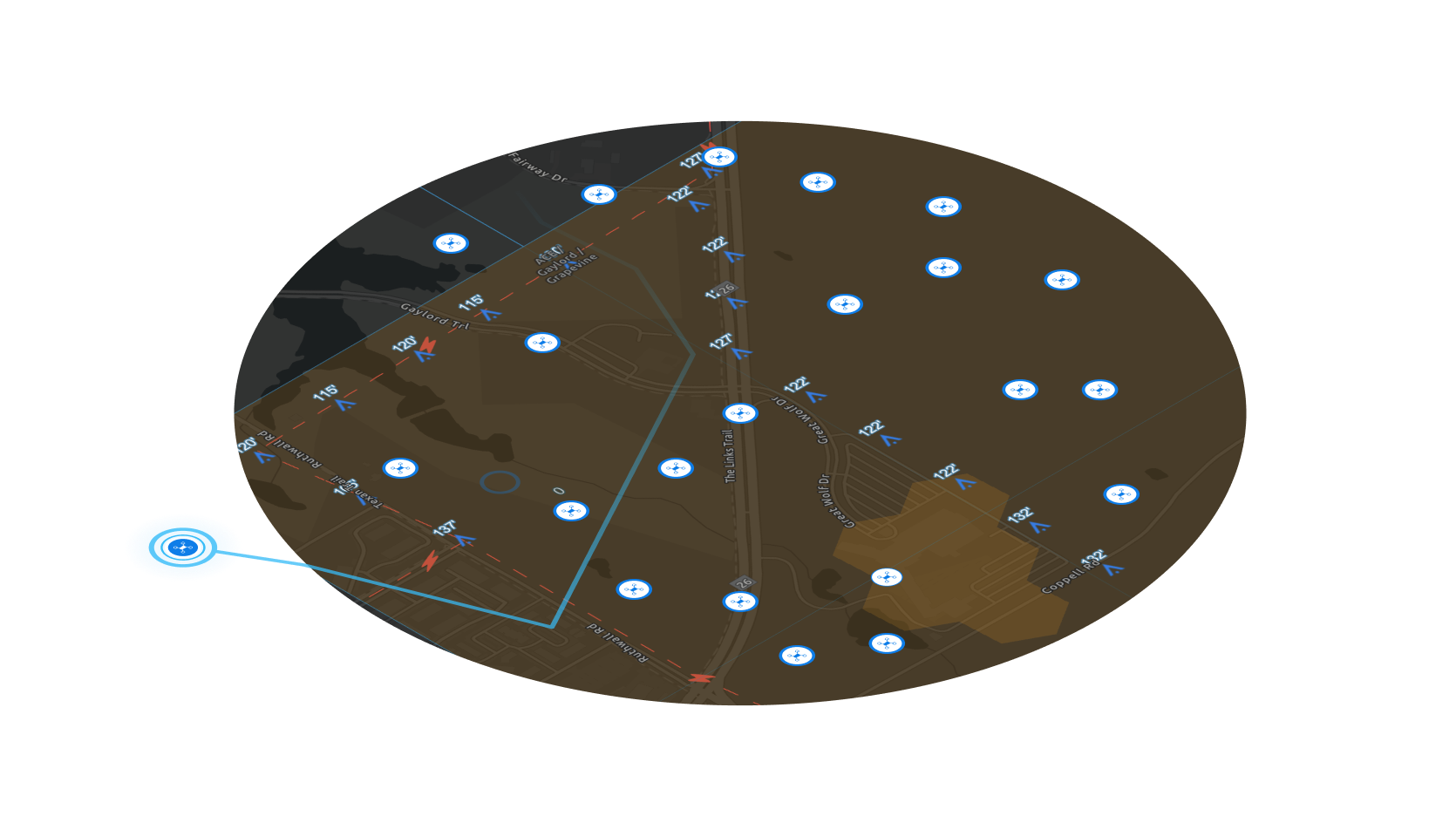
AirHub® Portal is a free, streamlined application designed for all drone pilots, offering pre-flight risk assessment, situational awareness, B4UFLY services, and LAANC approval directly from the FAA.
With features for crew and asset management, drone registration, usage tracking, and BVLOS operations, AirHub® Portal ensures safe and compliant drone flights. Access it on Web/Desktop, Apple App Store, and Google Play.
Airspace Link, an FAA-approved UAS Service Supplier, integrates LAANC and B4UFLY into AirHub® Portal. B4UFLY provides crucial safety and airspace information, while LAANC automates airspace authorization for flights under 400 feet in controlled airspace.
Airspace Link is an FAA-approved UAS Service Supplier of the Low Altitude Authorization and Notification Capability (LAANC) and is approved to provide B4UFLY Services. Both services are integrated into the AirHub® Portal application for Part 107 Pilots and Recreational Flyers.
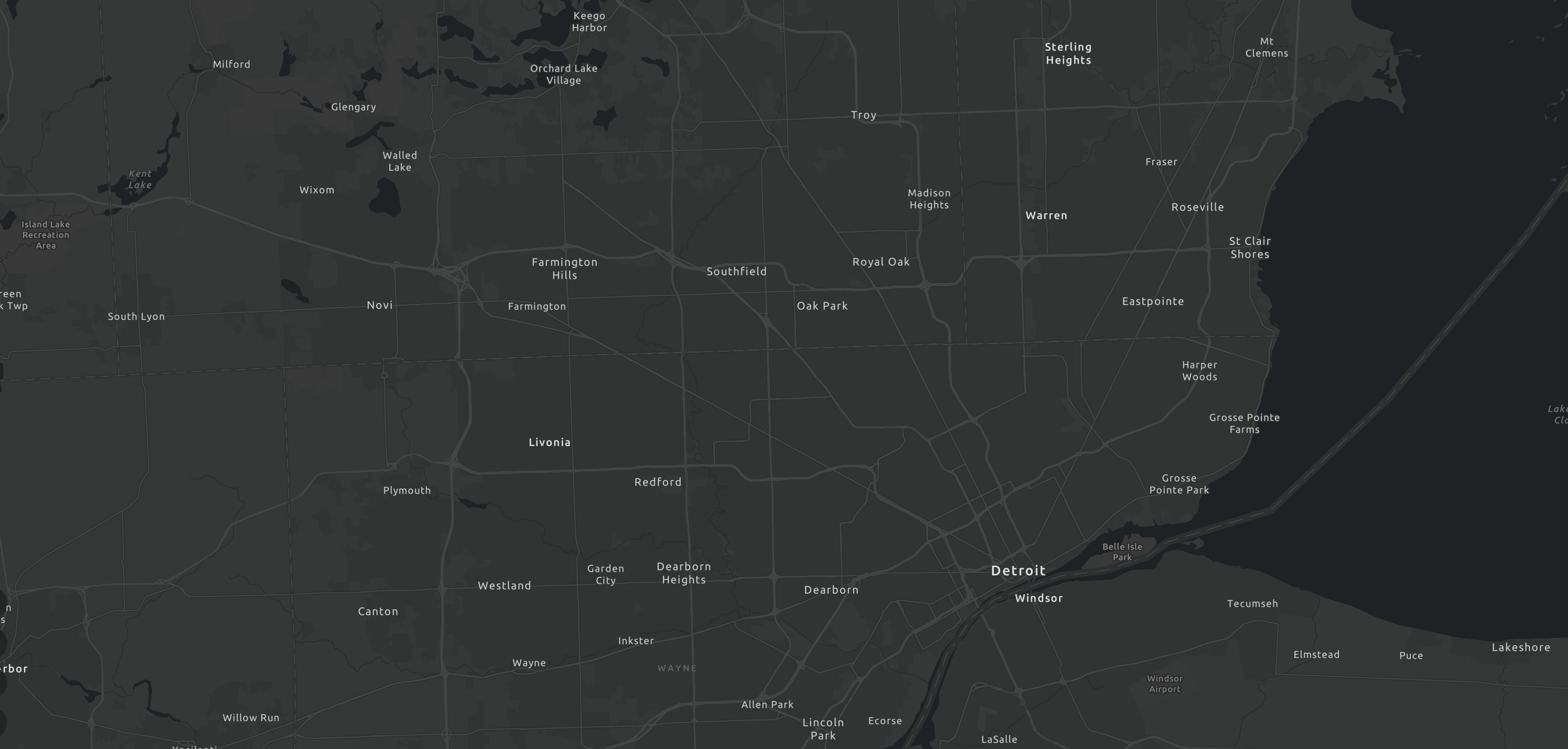
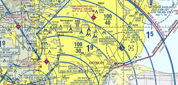
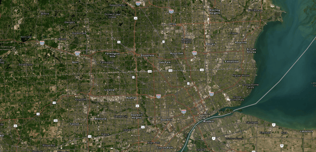
As a safety awareness program, B4UFLY provides public access to important safety and airspace information prior to flight. B4UFLY displays controlled and uncontrolled airspace, maximum authorized altitudes near airports, restricted or prohibited airspace, and other safety information.
Drone pilots planning to fly under 400 feet in controlled airspace must receive airspace authorization from the FAA before they fly. LAANC automates the application and approval process for airspace authorizations and is available to pilots operating under the Small UAS Rule Part 107 or under the exception for Recreational Flyers.
To qualify under Part 107, you must register your drone and hold a Remote Pilot Certificate. Recreational flyers must take The Recreational UAS Safety Test (TRUST) before they fly.


Our strategic partnership with Esri, the global leader in geographic information system (GIS) location intelligence and mapping, grants exclusive access to premier technology and global data, uniquely positioning us as the leading UTM option.
For individual operators utilizing drones for hobbies, photography, and leisure activities, AirHub® Portal offers an intuitive interface to understand the airspace, plan operations, and quickly apply for Low Altitude Authorization and Notification Capability (LAANC) authorization when flying in controlled airspace.

AirHub® Portal offers a tailored platform for both enterprise and government sectors. For enterprises, it's a streamlined platform for Part 107 pilots and companies, providing authoritative data and tools for regulatory compliant commercial drone operations. For governments, it stands as the only FAA-integrated solution supporting state and local government drone operations. Enabling efficient decision-making and safety management of community drone program expansions.


Check the skies for official updates, local alerts, and weather conditions before you take off.

Craft detailed operational strategy that ensures your readiness for launch approval.
Ensure you're fully aware of the airspace surroundings throughout your operational flights.

Keep your crew, assets, and flight logs meticulously updated and easily accessible.
Check the skies for official updates, local alerts, and weather conditions before you take off

Craft detailed operational strategy that ensures your readiness for launch approval
Ensure you're fully aware of the airspace surroundings throughout your operational flights
Keep your crew, assets, and flight logs meticulously updated and easily accessible