
Customize Your Pre-Flight and Post-Flight Data Collection with Esri’s Survey123
Survey123, a powerful and user-friendly data collection app developed by Esri, empowers you to create and deploy custom surveys and forms. It's...
1 min read
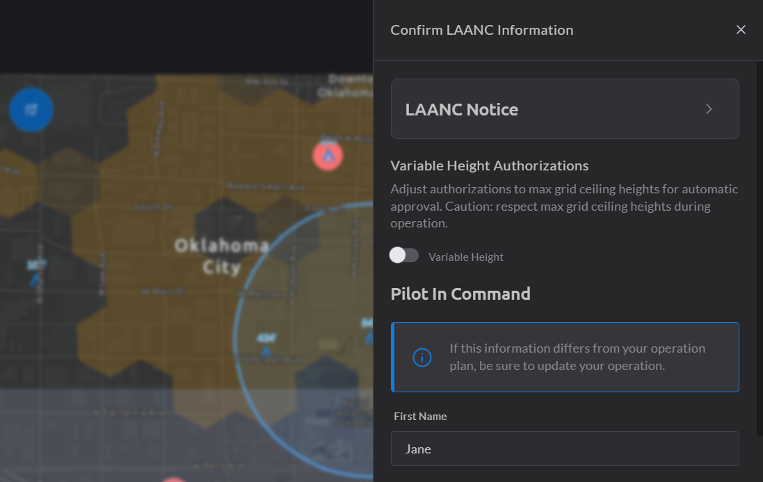
Low Altitude Authorization and Notification Capability (LAANC) operations can be complex, particularly when navigating airspace with varying altitude restrictions. This is due to the gridded nature of LAANC, where each grid has its own unique maximum allowable altitude. This presents significant challenges when planning operations that traverse multiple grids with varying ceiling heights.
Obtaining a single authorization for an operation spanning grids with different ceilings can be a complex and time-consuming process. Consequently, operators might be forced to operate at the lowest AGL ceiling across all grids, even if higher altitudes are permissible in some areas, thus limiting operational efficiency and mission effectiveness.
To address these challenges, Airspace Link has implemented a Variable Height LAANC Authorization feature within AirHub Portal. This innovative feature dynamically splits the operation into multiple polygons, each confined to a specific grid and its corresponding ceiling height. This enables the submission of separate authorization requests for each polygon, ensuring that each request adheres to the specific grid ceiling restrictions.
By utilizing this option, operators gain increased operational flexibility by operating at the highest permissible altitude within each grid, maximizing flight time and mission effectiveness. Moreover, it significantly improves authorization success rates by adhering to the specific grid ceiling restrictions. The option also streamlines the workflow by automating the process of splitting the operation and preparing multiple requests, saving valuable time and effort.
See below:

Ready to take flight with greater confidence? Explore the Variable Height LAANC Authorization feature today with any FlySafe bundle and experience a new level of flight confidence.

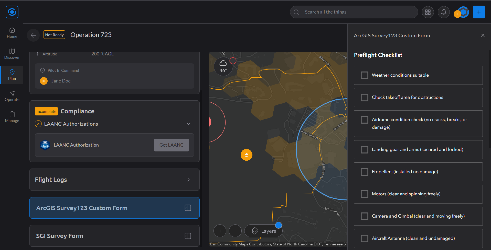
Survey123, a powerful and user-friendly data collection app developed by Esri, empowers you to create and deploy custom surveys and forms. It's...
At Airspace Link, we understand that effective drone operations require accurate data and streamlined processes. That’s why we’re excited to...
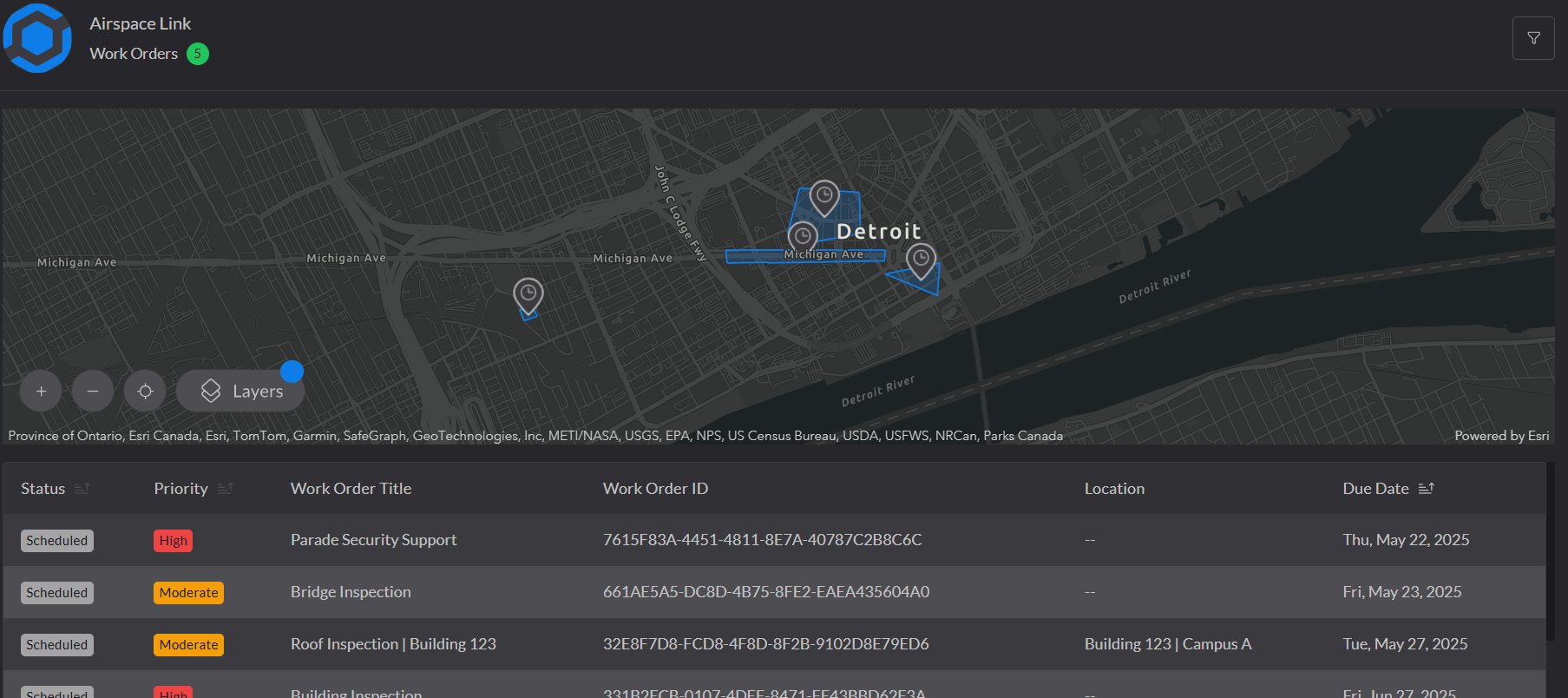
Introducing Work Order Management within AirHub® Portal, a powerful new feature that integrates your drone operations into your existing work...